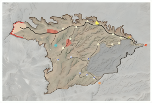
In the age of data-driven decisions, Geographic Information Systems (GIS) play a pivotal role in shaping infrastructural and urban planning strategies. Our expertise in GIS enables us to gather, analyze, and deploy geographic data effectively, ensuring informed decisions that resonate with the geographical and socio-cultural nuances of a region. From urban planning to environmental conservation, our GIS insights pave the way for solutions that are both innovative and grounded in reality.

In today’s data-centric world, Geographic Information Systems (GIS) have become indispensable tools for informed decision-making. At Al-Muhaid Consulting Engineers, our GIS experts harness the power of geospatial data to create innovative and sustainable solutions for complex challenges. We excel at capturing, analyzing, and visualizing geographic information to uncover hidden patterns and relationships. Our GIS capabilities enable us to:
By leveraging the power of GIS, we help our clients make data-driven decisions that create sustainable and resilient communities. It signifies a shift from intuition-based strategies to a data-centric approach that places sustainability and resilience at the forefront. By harnessing the potential of Geographic Information Systems, we unlock a world of possibilities where information becomes the cornerstone for building thriving and adaptable communities.
Our GIS expertise extends across various sectors, including: